Journal18: a journal of eighteenth-century art and culture
  • Current Issue
  • Future Issues
  • Past Issues
    • #1 Multilayered (Spring 2016)
    • #2 Louvre Local (Fall 2016)
    • #3 Lifelike (Spring 2017)
    • #4 East-Southeast (Fall 2017)
    • #5 Coordinates (Spring 2018)
    • #6 Albums (Fall 2018)
    • #7 Animal (Spring 2019)
    • #8 Self/Portrait (Fall 2019)
    • # 9 Field Notes (Spring 2020)
    • # 10 – 1720 (Fall 2020)
    • #11 The Architectural Reference (Spring 2021)
    • #12 The ‘Long’ 18th Century? (Fall 2021)
    • #13 Race (Spring 2022)
    • #14 Silver (Fall 2022)
    • #15 Cities (Spring 2023)
    • #16 Cold (Fall 2023)
    • #17 Color (Spring 2024)
    • #18 Craft (Fall 2024)
  • Notes & Queries
  • Information for Authors
  • Editorial Team
  • About
  • Contact

#5 Coordinates

#5 Coordinates

Artists’ Studios in Paris: Digitally Mapping the 18th-Century Art World
Hannah Williams
8th April 2018
Artists’ Studios in Paris: Digitally Mapping the 18th-Century Art World

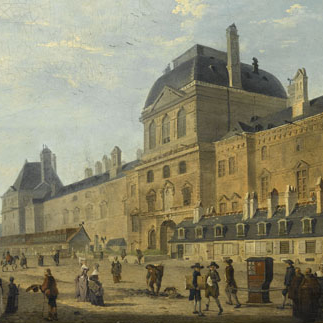
Hannah Williams   CLICK TO READ ARTICLE   Abstract: Paris is a city renowned for its artistic communities. Yet while the art-world neighborhoods of modernist Paris are so well-known, we are far less familiar with the urban lives of the city’s earlier generations of artists. Where were the artists’ studios…

Read More

#5 Coordinates

Unsettled Sculptures: Mapping the Afterlife of Ammannati’s Juno Fountain

Assistant
8th April 2018
Unsettled Sculptures: Mapping the Afterlife of Ammannati’s Juno Fountain

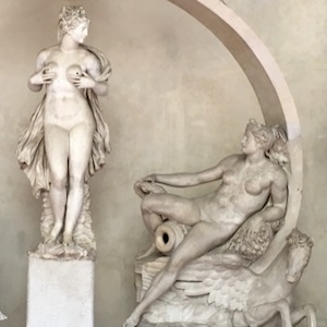
Catherine Walsh   Nine sculptures made from eight blocks of marble comprise the Juno Fountain commissioned by Cosimo I de’ Medici (1519-1574) for the Sala Grande of the Palazzo Vecchio (Fig. 1). The sculptures represent Juno, Ceres, Arno, Parnassus, Florence, Temperance, two peacocks, and an arc around and within which…

Read More

#5 Coordinates

Virtual Explorations of an 18th-Century Art Market Space: Gersaint, Watteau, and the Pont Notre-Dame

Noémie
8th April 2018
Virtual Explorations of an 18th-Century Art Market Space: Gersaint, Watteau, and the Pont Notre-Dame

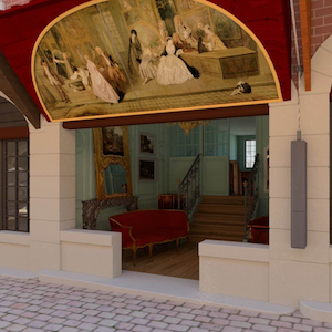
Sophie Raux   From the start of the sixteenth century until 1786, the Pont Notre-Dame in Paris was topped by two rows of houses. They were built to a standard design and marked out a paved and very busy street, lined with shops that were home to some sixty or…

Read More

#5 Coordinates

The Canoe and the Superpixel: Image Analysis of the Changing Shorelines on Historical Maps of the Great Lakes

Noémie
8th April 2018
The Canoe and the Superpixel: Image Analysis of the Changing Shorelines on Historical Maps of the Great Lakes

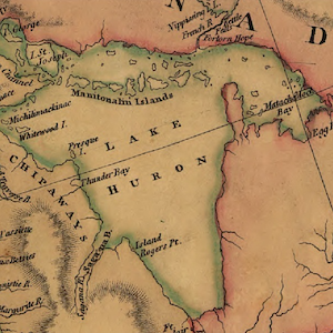
Michael Simeone, Christopher Morris, Kenton McHenry, and Robert Markley   The study of historical maps as a group or body poses interpretive challenges on a number of fronts: maps are representations of geophysical spaces, and yet they are also works of art, produced, exchanged, and viewed within the commercial and…

Read More

#5 Coordinates

A Digital Extension of a Roman Cartographic Classic: The 1748 Nolli Map and its Legacy

Assistant
8th April 2018
A Digital Extension of a Roman Cartographic Classic: The 1748 Nolli Map and its Legacy

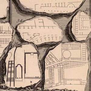
James Tice   The 1748 Pianta Grande of Rome (Fig. 1) by Giambattista Nolli (1701-1756) is a milestone in the history of cartography. Its copious size (1760 x 2085 mm), intricate detail, and accuracy have made it an essential document for studying the architecture, landscape architecture and urban structure of Rome…

Read More

#5 Coordinates

Continent Allegories in the Baroque Age – A Database

Assistant
8th April 2018
Continent Allegories in the Baroque Age – A Database

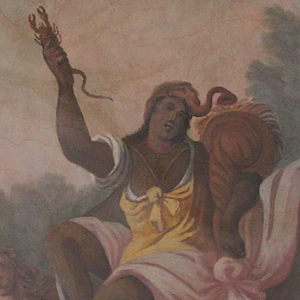
Marion Romberg   Objectives of the Project During the late Renaissance, around 1570, humanists developed a new “shorthand” way for representing the world at a single glance: personifications of the four continents (Europe, Asia, Africa, and America). While the continent allegory as an iconic type had already been in use…

Read More

#5 Coordinates

Caribes: Designing a Digital Database for Caribbean Architecture and the Problem of Overlapping Spaces

Assistant
8th April 2018
Caribes: Designing a Digital Database for Caribbean Architecture and the Problem of Overlapping Spaces

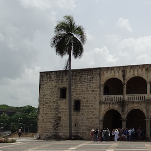
Paul Niell   The criticism leveled at the United States and European nations for their inadequate responses to the devastation of various Caribbean islands—among them St John, Dominica, Martinique, Puerto Rico—by Hurricanes Irma and Maria in September 2017 reminds us of the imperial histories that have shaped the region as…

Read More

#5 Coordinates

Itinera’s Displacements: A Roundtable

Hannah Williams
8th April 2018
Itinera’s Displacements: A Roundtable

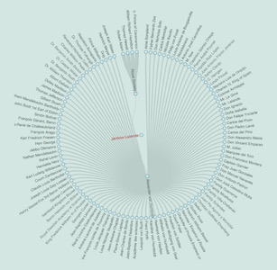
Christopher Drew Armstrong, Lily Brewer, Jennifer Donnelly, Alison Langmead, Vee McGyver, Meredith North   CLICK TO ENTER ROUNDTABLE   Abstract: Itinera is a digital environment for creating and exploring historical narratives that incorporates cartographic visualizations. The project was inspired by the central role that the mobility of people and objects…

Read More

© 2025 Journal18: a journal of eighteenth-century art and culture | Theme by: Theme Horse | Proudly Powered by: WordPress