Ethno-geographies in the Making of Enlightenment Cartography: The Mural Maps of Jean Janvier and Sébastien-G. Longchamps (1754)

Ethno-geographies in the Making of Enlightenment Cartography: The Mural Maps of Jean Janvier and Sébastien-G. Longchamps (1754)

Íris Kantor Milena Natividade da Cruz In April 1754, the French literary gazette Mercure de France announced the publication of five large mural maps made by the geographers Jean Janvier and Sébastien-G. Longchamps, comprising a mappa mundi and additional large maps dedicated to the four continents: America, Asia, Africa, and…

Read More

Overseeing Senegal: French Prints of the Late-Eighteenth-Century Slave Trade

Overseeing Senegal: French Prints of the Late-Eighteenth-Century Slave Trade

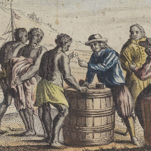
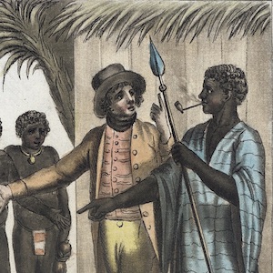
Katherine Calvin While describing Senegal in his 1797 illustrated book, Tableaux des principaux peuples de l’Europe, de l’Asie, de l’Afrique, de l’Amérique, et les découvertes des capitaines Cook, La Pérouse, etc., the white, Montreal-born author, artist, and former diplomat Jacques Grasset de Saint-Sauveur (1757-1810) explicitly condemns Europeans’ brutal treatment of…

Read More